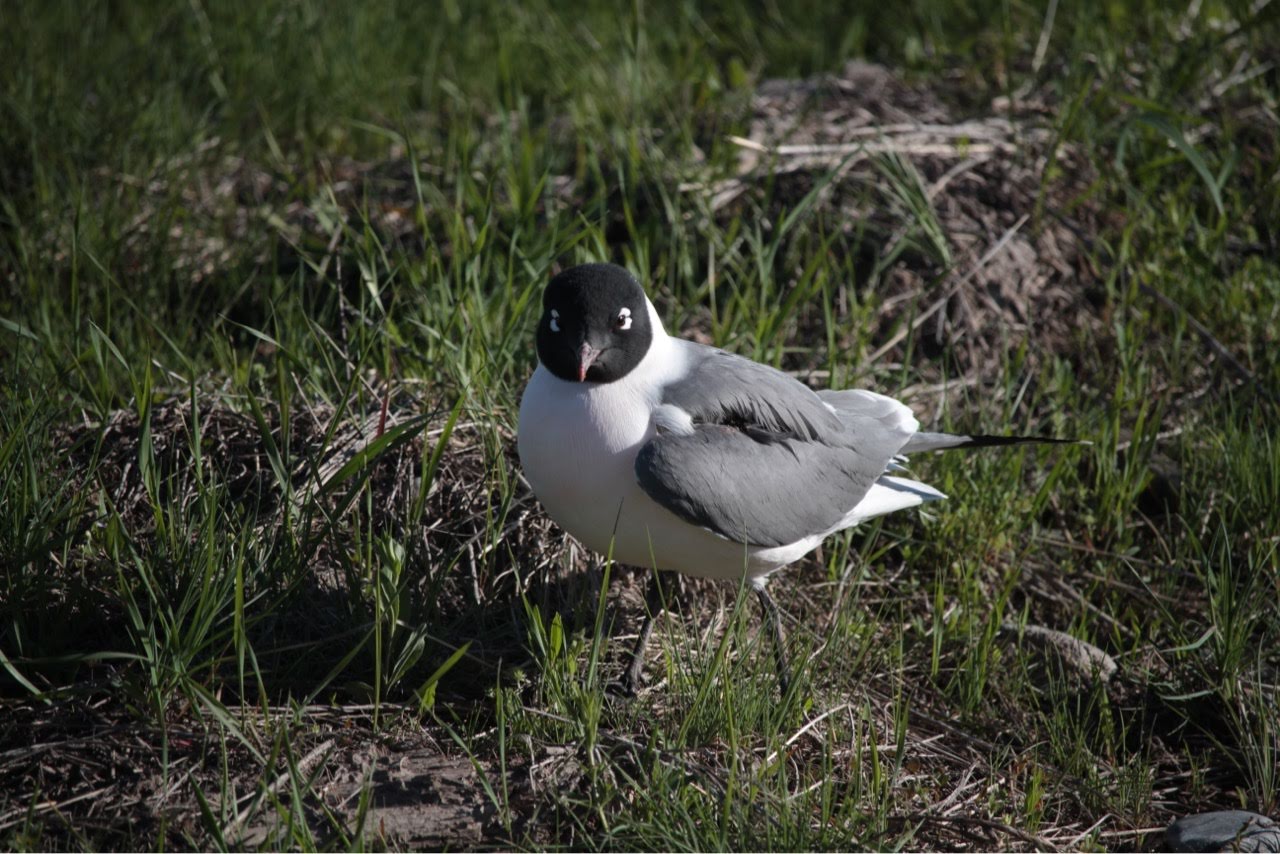
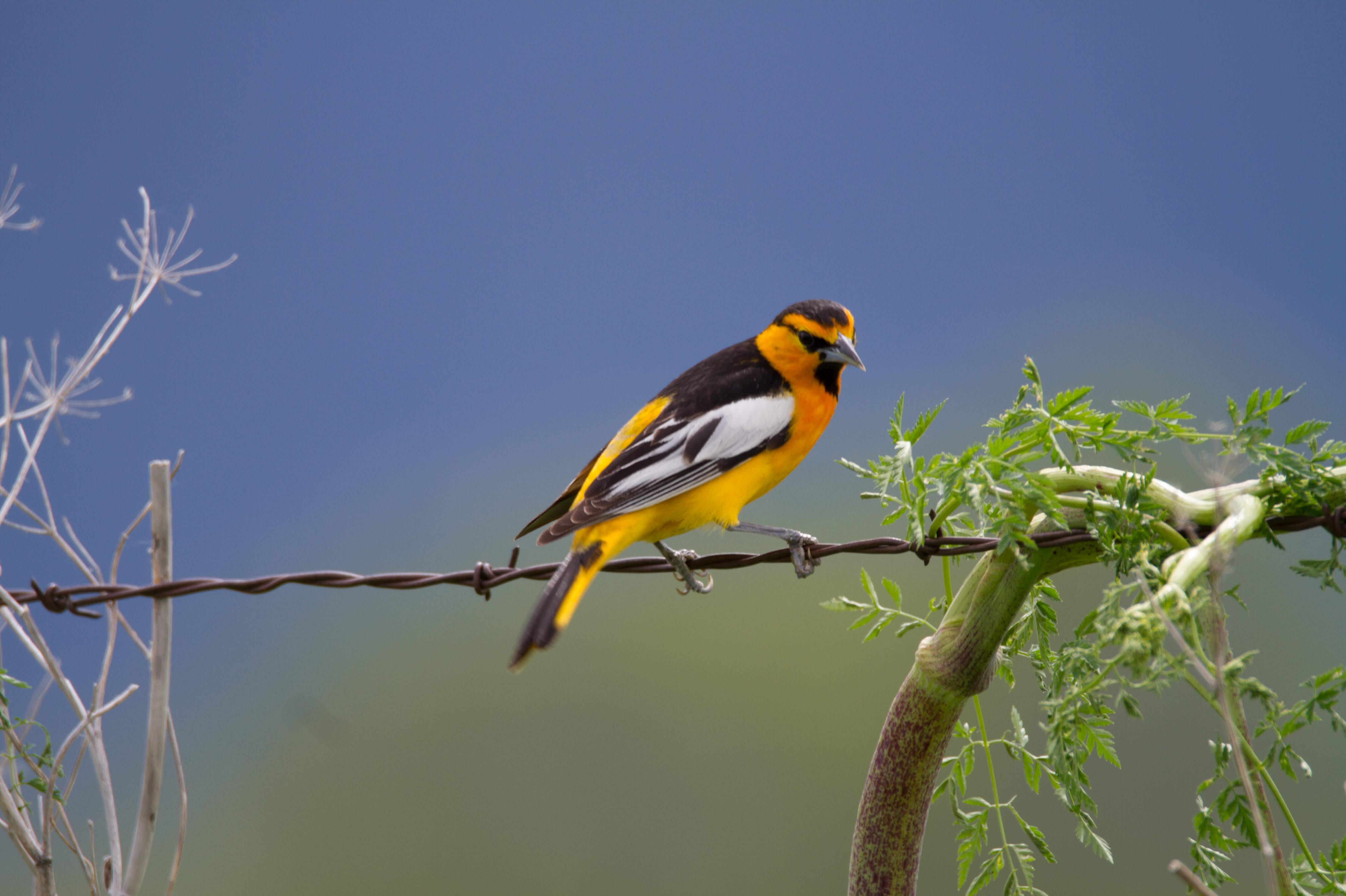
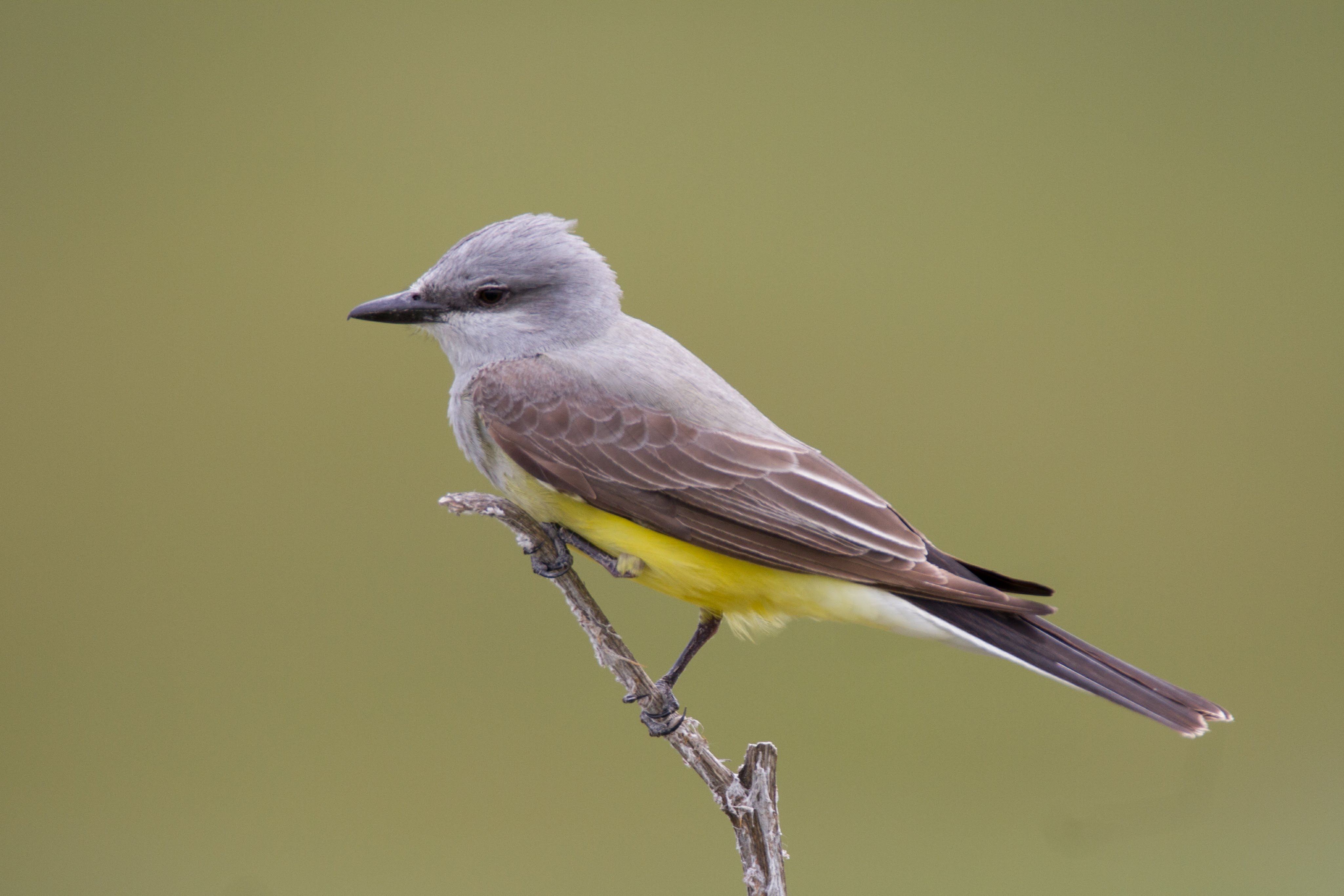
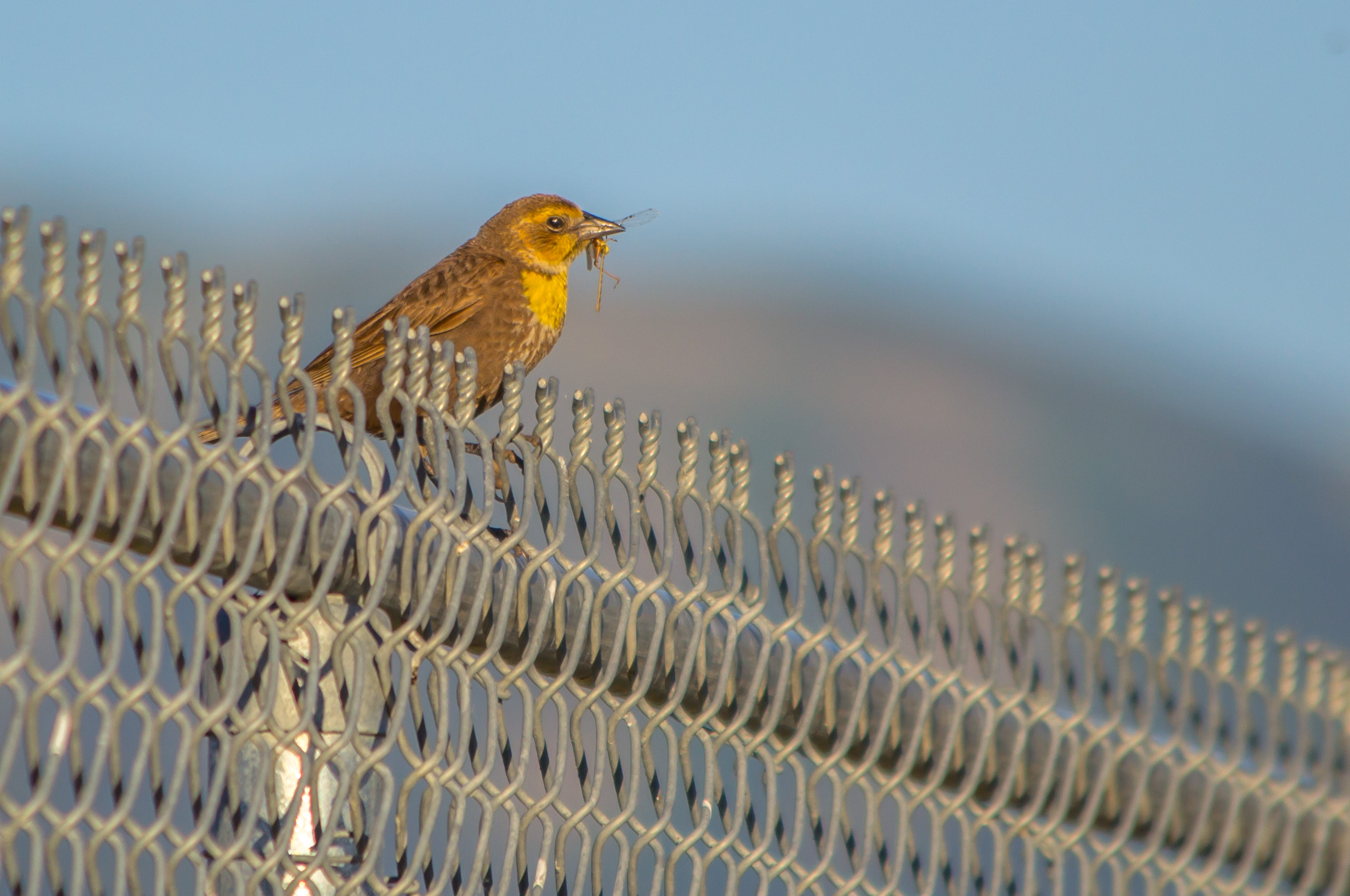
 Logan Mitigation Wetlands, Courtesy & © Linda L’Ai, Photographer Logan Mitigation Wetlands, Courtesy & © Linda L’Ai, Photographer |
 Logan Mitigation Wetlands, Courtesy & © Linda L’Ai, Photographer Logan Mitigation Wetlands, Courtesy & © Linda L’Ai, Photographer |
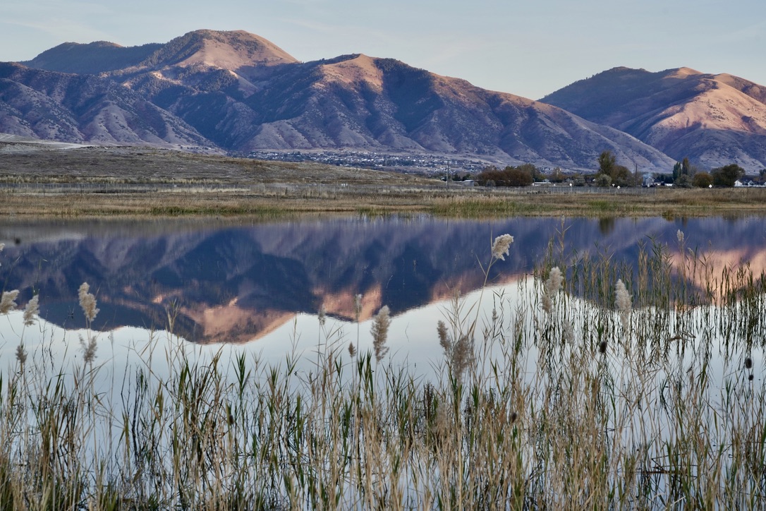 Logan Mitigation Wetlands, Courtesy & © Linda L’Ai, Photographer Logan Mitigation Wetlands, Courtesy & © Linda L’Ai, Photographer |
 Logan Mitigation Wetlands, Courtesy & © Linda L’Ai, Photographer Logan Mitigation Wetlands, Courtesy & © Linda L’Ai, Photographer |
 Courtesy & © 2008 Jason Pietrzak, Photographer Courtesy & © 2008 Jason Pietrzak, Photographer |
 Courtesy Logan City, Tyler Richards & Issa Hamud Courtesy Logan City, Tyler Richards & Issa Hamud |
The City of Logan and Bridgerland Audubon Society created the Logan River Wetlands, a.k.a. Logan Mitigation Ponds or Sue’s Ponds. There are 3 ponds against the 1900 West. A playa west of those ponds can be reached by walking the road from the ulocked gate near the sign. Bridgerland Audubon supplied the sign, the pump and secured the water rights from Logan City for the playa. This is often called “Sue’s Ponds” because Sue Drown coordinated creation of the playa with Logan City. Now that she has moved, Bob Atwood manages the site for Bridgerland Audubon Society and coordinates with Logan City.
Mitigation Ponds on Google Maps
Bridgerland Audubon Contact: Bob Atwood
Photos from Sue’s Ponds
External References:
Sue’s Pond, UtahBirds.org, http://www.utahbirds.org/counties/cache/SuesPonds.htm
Sue’s Pond–Logan River Wetlands and Shorebird Playa, eBird, https://ebird.org/hotspot/L586105
| Logan River Wetlands GPS Approximate N41º 43.876’, W111º 52.800’ (Sp, F) From the Visitors Bureau, head west on 200 North (Hwy. 30) for 2.2 miles. Turn left on 1900 West just past the landfill. After a few hundred yards, look for a gate and dirt road on the right. Two ponds can be scanned from the road. Read the sign at the gate before entering. There is a shallow playa pond behind the roadside ponds that is not visible from the road. Check this pond often in spring and fall, as it is the most accessible spot for shorebirds including Great Blue Herons, Dowitchers and Baird’s, Western and Least Sandpipers. Enjoy the black-headed Franklin’s Gulls, delicate Black-necked Stilts and a variety of ducks. In cold months, scout these ponds for Herring, Thayers and other visiting winter gulls. Cache Valley Birding Trails, A Self-guided Tour, Cache Valley Visitors Bureau, Bridgerland Audubon, Logan Canyon National Scenic Byway, https://www.explorelogan.com/assets/files/brochures/birdingtrails.pdf |
Plantings
Recommended Riparian Species (Downloads File)
History
Logan City Integrated Municipal Waste Management Campus, 2010, https://cms9files.revize.com/loganut/departments/enviromental/Documents/IMWMP_Current.pdf

